Practice this route
Simulate turn-by-turn navigation from anywhere, or drive it for real near the test centre.
Open in Rodic App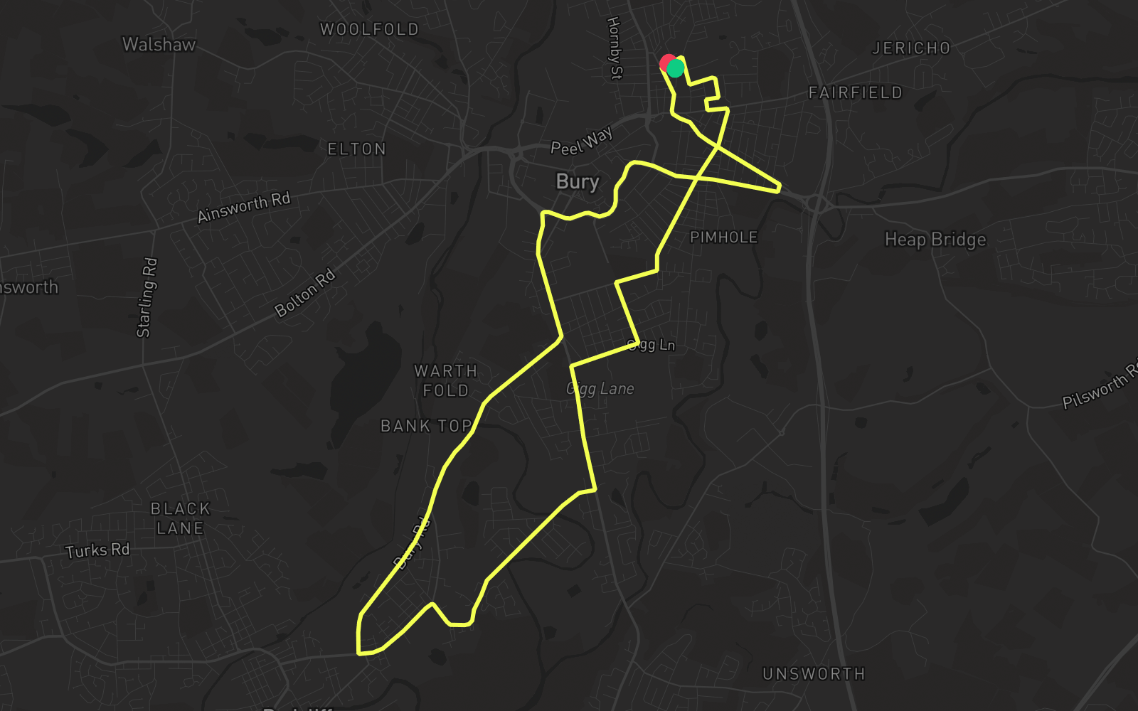
Route 2
Route 2 is one of the practice routes used by DVSA examiners at Bury in Greater Manchester (BL9 6HH). The route covers approximately 8.4 mi and typically takes 20 min. Use the Rodic app to simulate or drive this route with live GPS navigation.
Turn-by-turn instructions
25 stepsStart - Brook Street
Start
Turn RIGHT onto Geoffrey Street
Turn Right
Turn RIGHT onto Bridge Street
Turn Right
Turn LEFT onto Kay Street
Turn Left
Turn RIGHT onto Lucas Street
Turn Right
Turn RIGHT onto Villiers Street
Turn Right
Turn LEFT onto Bright Street
Turn Left
Turn LEFT onto Bell Lane
Turn Left
Turn RIGHT onto Parsonage Street
Turn Right
Turn RIGHT onto Wellington Road
Turn Right
Turn LEFT onto Market Street
Turn Left
Turn RIGHT onto Gigg Lane
Turn Right
Turn LEFT onto Manchester Road
Turn Left
Turn RIGHT onto Dumers Lane
Turn Right
Turn LEFT onto Cross Lane
Turn Left
Turn RIGHT onto Bury Road
Turn Right
Turn LEFT onto Manchester Road
Turn Left
Turn RIGHT onto Jubilee Way
Turn Right
Turn RIGHT onto Angouleme Way
Turn Right
Turn LEFT onto Angouleme Way
Turn Left
Turn LEFT onto
Turn Left
Turn LEFT onto Wash Lane
Turn Left
Turn RIGHT onto Wash Lane
Turn Right
Turn RIGHT onto Geoffrey Street
Turn Right
Arrive - Geoffrey Street
Destination