Practice this route
Simulate turn-by-turn navigation from anywhere, or drive it for real near the test centre.
Open in Rodic AppMore at Durham
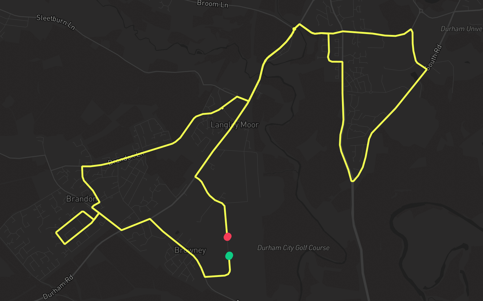
Route 2
Route 2 is one of the practice routes used by DVSA examiners at Durham in County Durham (DH7 8XL). The route covers approximately 9.2 mi and typically takes 25 min. You'll encounter 3 roundabouts along the way. Use the Rodic app to simulate or drive this route with live GPS navigation.
Turn-by-turn instructions
24 stepsStart - St. John's Road
Start
Turn RIGHT onto Browney Lane
Turn Right
Turn LEFT onto A690
Turn Left
Turn RIGHT onto Sawmill Lane
Turn Right
Turn LEFT onto Grove Road
Turn Left
Turn RIGHT onto Briar Avenue
Turn Right
Turn LEFT onto Grove Road
Turn Left
Turn LEFT onto Sawmill Lane
Turn Left
Turn RIGHT onto Lowland Road
Turn Right
Turn LEFT onto
Turn Left
Turn RIGHT onto Brandon Lane
Turn Right
Turn RIGHT onto Sleetburn Lane
Turn Right
Turn LEFT onto High Street
Turn Left
Roundabout, take the second exit onto A690
Roundabout
Turn RIGHT onto Lowes Barn Bank
Turn Right
Turn RIGHT onto Elvet Hill Road
Turn Right
Turn RIGHT onto South Road
Turn Right
Roundabout, take the third exit onto A167
Roundabout
Turn LEFT onto Park House Road
Turn Left
Turn LEFT onto Lowes Barn Bank
Turn Left
Turn LEFT onto A690
Turn Left
Roundabout, take the first exit onto A690
Roundabout
Turn LEFT onto St. John's Road
Turn Left
Arrive - St. John's Road
Destination