Practice this route
Simulate turn-by-turn navigation from anywhere, or drive it for real near the test centre.
Open in Rodic AppMore at Halifax
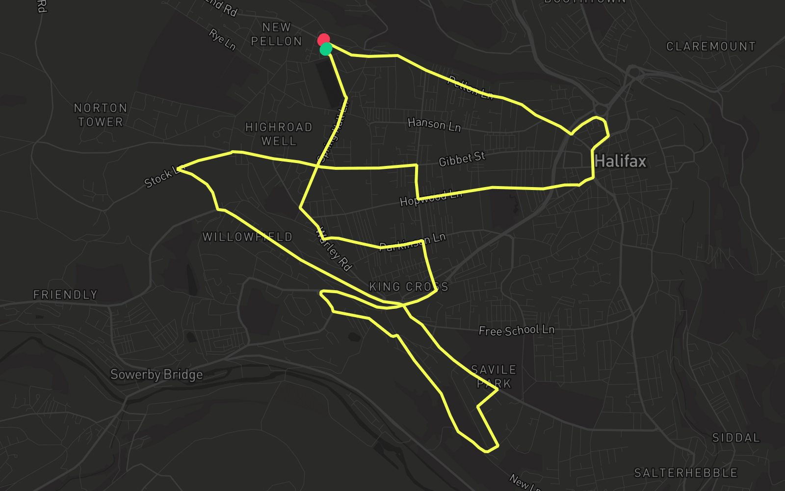
Route 2
Route 2 is one of the practice routes used by DVSA examiners at Halifax in West Yorkshire (HX2 0HA). The route covers approximately 8.8 mi and typically takes 25 min. Use the Rodic app to simulate or drive this route with live GPS navigation.
Turn-by-turn instructions
27 stepsStart - Cross Street West
Start
Turn RIGHT onto Highgate Gardens
Turn Right
Turn RIGHT onto Spring Hall Lane
Turn Right
Turn LEFT onto Warley Road
Turn Left
Turn LEFT onto Parkinson Lane
Turn Left
Turn RIGHT onto Queen's Road
Turn Right
Turn RIGHT onto Aachen Way
Turn Right
Turn LEFT onto Aachen Way
Turn Left
Turn LEFT onto Pye Nest Road
Turn Left
Turn LEFT onto Edwards Road
Turn Left
Turn RIGHT onto Scarr Bottom Road
Turn Right
Turn LEFT onto Birdcage Hill
Turn Left
Turn LEFT onto Kensington Road
Turn Left
Turn RIGHT onto Rocks Road
Turn Right
Turn LEFT onto Skircoat Moor Road
Turn Left
Turn LEFT onto Dryclough Lane
Turn Left
Turn RIGHT onto Windle Royd Lane
Turn Right
Turn RIGHT onto Stock Lane
Turn Right
Turn RIGHT onto Roils Head Road
Turn Right
Turn RIGHT onto Queen's Road
Turn Right
Turn LEFT onto Hopwood Lane
Turn Left
Turn LEFT onto Bull Green
Turn Left
Turn LEFT onto Cow Green
Turn Left
Turn LEFT onto Orange Street
Turn Left
Turn LEFT onto
Turn Left
Turn RIGHT onto Pellon Lane
Turn Right
Arrive - Pellon Lane
Destination