Practice this route
Simulate turn-by-turn navigation from anywhere, or drive it for real near the test centre.
Open in Rodic AppMore at Sevenoaks
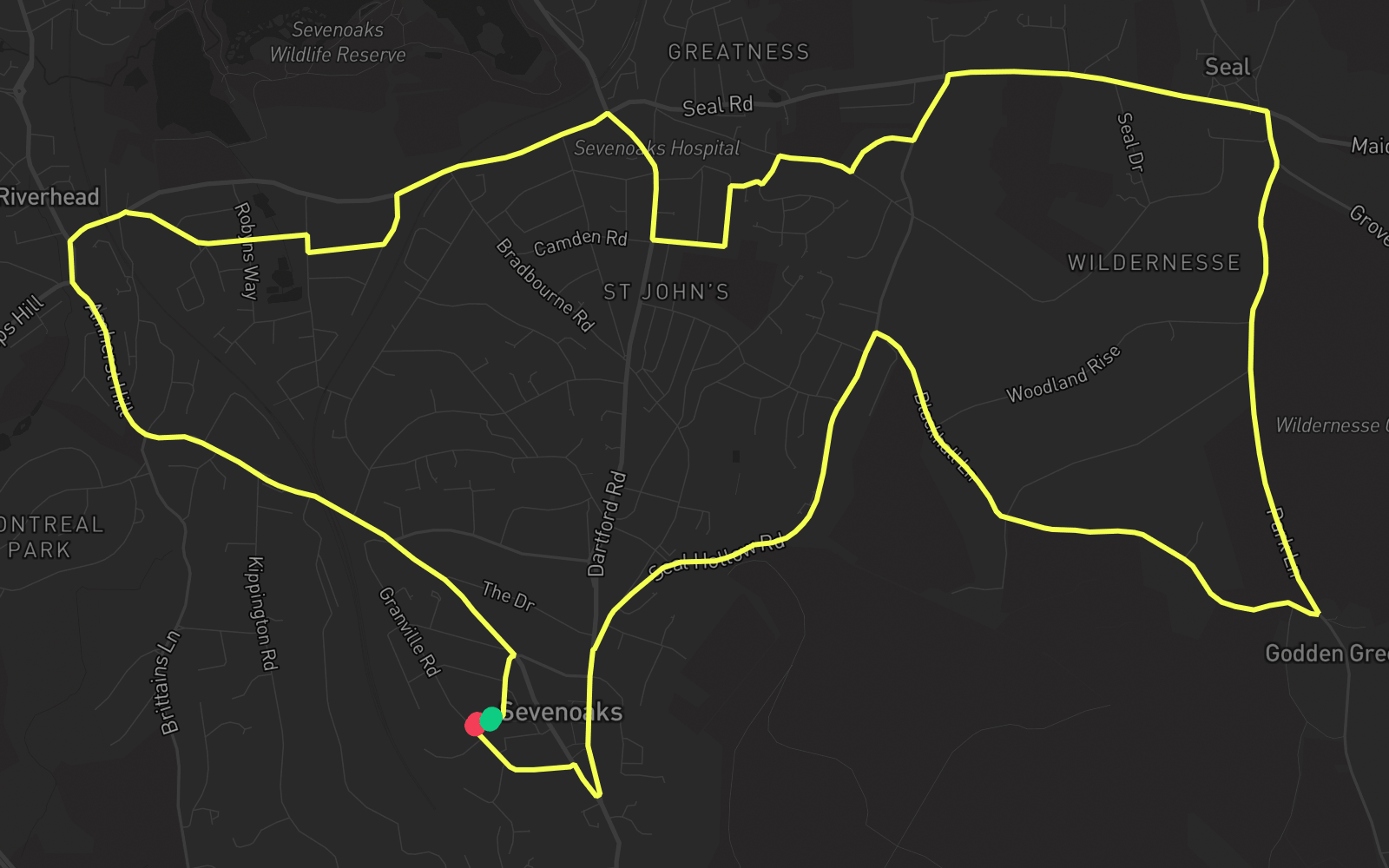
Route 5
Route 5 is one of the practice routes used by DVSA examiners at Sevenoaks in Kent (TN13 1HJ). The route covers approximately 7.8 mi and typically takes 25 min. Use the Rodic app to simulate or drive this route with live GPS navigation.
Turn-by-turn instructions
25 stepsStart - Argyle Road
Start
Turn LEFT onto London Road
Turn Left
Turn RIGHT onto London Road
Turn Right
Turn RIGHT onto Betenson Avenue
Turn Right
Turn RIGHT onto Lambarde Road
Turn Right
Turn LEFT onto Cavendish Avenue
Turn Left
Turn LEFT onto Oakdene Road
Turn Left
Turn RIGHT onto Bradbourne Vale Road
Turn Right
Turn RIGHT onto St John's Hill
Turn Right
Turn LEFT onto Wickenden Road
Turn Left
Turn RIGHT onto Littlewood
Turn Right
Turn LEFT onto Littlewood
Turn Left
Turn RIGHT onto Hillingdon Avenue
Turn Right
Turn LEFT onto The Crescent
Turn Left
Turn LEFT onto Seal Hollow Road
Turn Left
Turn RIGHT onto Seal Road
Turn Right
Turn RIGHT onto Park Lane
Turn Right
Turn RIGHT onto Blackhall Lane
Turn Right
Turn LEFT onto Seal Hollow Road
Turn Left
Turn LEFT onto High Street
Turn Left
Turn RIGHT onto
Turn Right
Turn RIGHT onto London Road
Turn Right
Turn LEFT onto South Park
Turn Left
Turn RIGHT onto Argyle Road
Turn Right
Arrive - Argyle Road
Destination