Practice this route
Simulate turn-by-turn navigation from anywhere, or drive it for real near the test centre.
Open in Rodic AppMore at St Helens
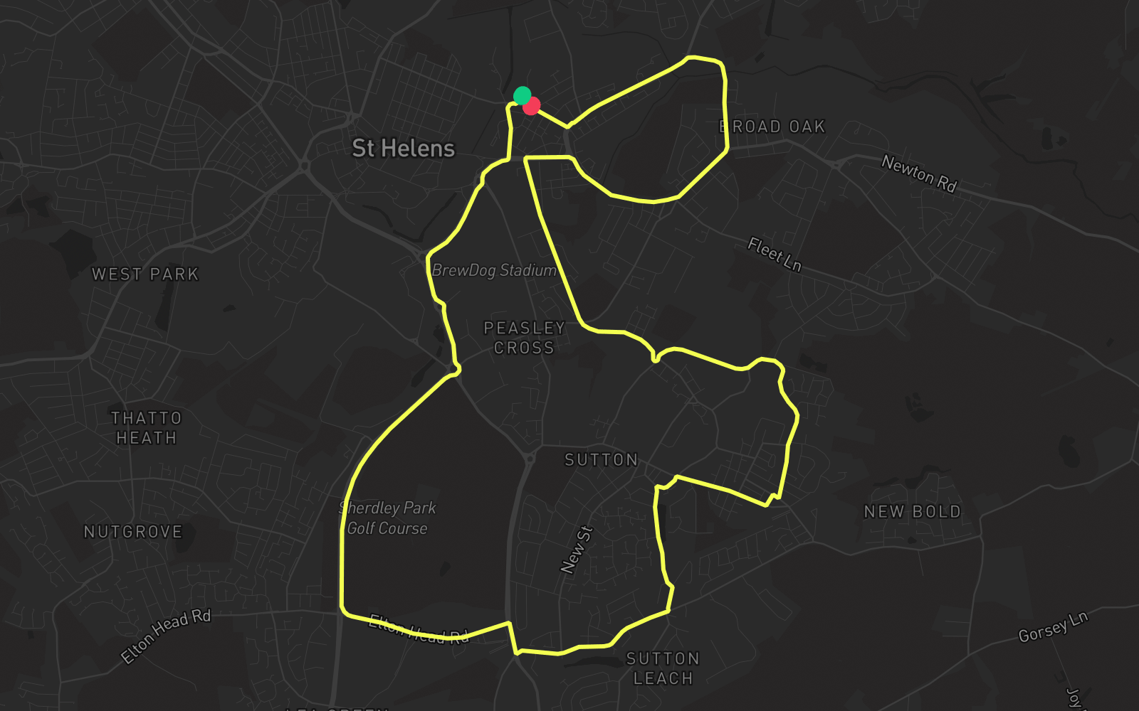
Route 3
Route 3 is one of the practice routes used by DVSA examiners at St Helens in Merseyside (WA9 1NS). The route covers approximately 8.7 mi and typically takes 30 min. You'll encounter 5 roundabouts along the way. Use the Rodic app to simulate or drive this route with live GPS navigation.
Turn-by-turn instructions
27 stepsStart - Navigation Road
Start
Turn RIGHT onto Pocket Nook Street
Turn Right
Turn LEFT onto Atlas Street
Turn Left
Continue on Parr Street
Continue
Roundabout, take the second exit onto Linkway East
Roundabout
Roundabout, take the first exit onto James Roby Way
Roundabout
Roundabout, take the second exit onto James Roby Way
Roundabout
Roundabout, take the third exit onto James Roby Way
Roundabout
Turn LEFT onto Elton Head Road
Turn Left
Turn RIGHT onto Marshalls Cross Road
Turn Right
Turn LEFT onto Mill Lane
Turn Left
Turn LEFT onto Leach Lane
Turn Left
Turn LEFT onto Gerards Lane
Turn Left
Turn RIGHT onto Waterdale Crescent
Turn Right
Turn RIGHT onto Robins Lane
Turn Right
Turn LEFT onto Orville Street
Turn Left
Turn RIGHT onto Junction Lane
Turn Right
Turn LEFT onto Cecil Street
Turn Left
Roundabout, take the fourth exit onto Sutton Road
Roundabout
Turn RIGHT onto Jackson Street
Turn Right
Turn RIGHT onto Parr Street
Turn Right
Turn RIGHT onto Ashcroft Street
Turn Right
Turn LEFT onto
Turn Left
Turn LEFT onto Park Road
Turn Left
Turn RIGHT onto
Turn Right
Turn RIGHT onto Pocket Nook Street
Turn Right
Arrive - Pocket Nook Street
Destination